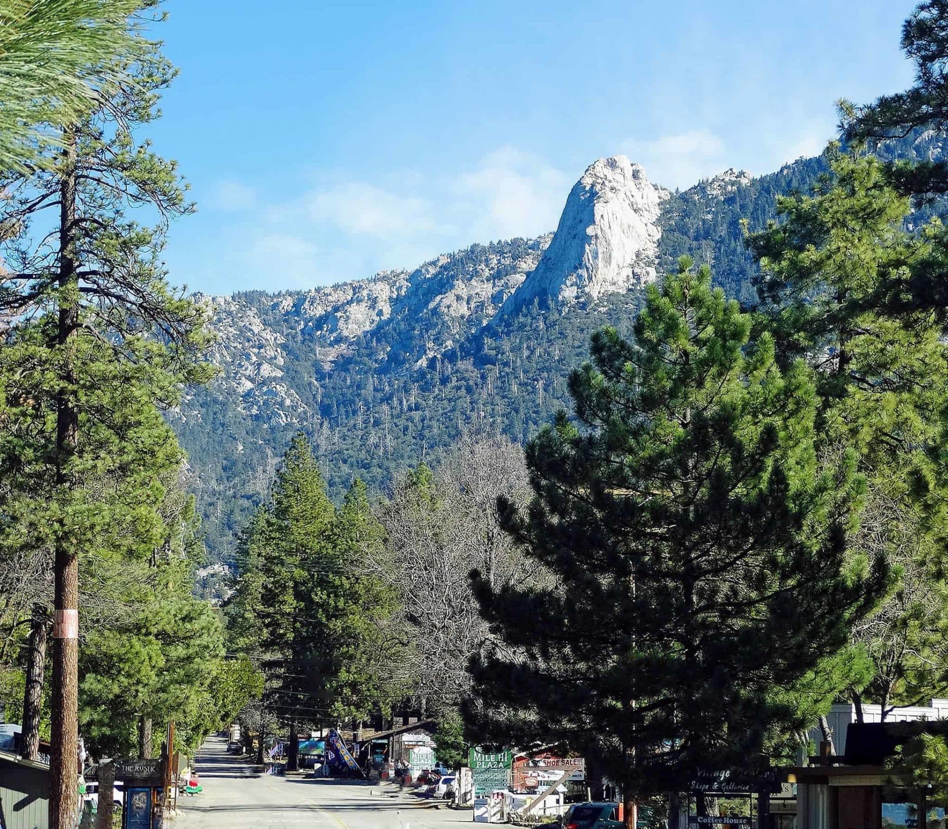
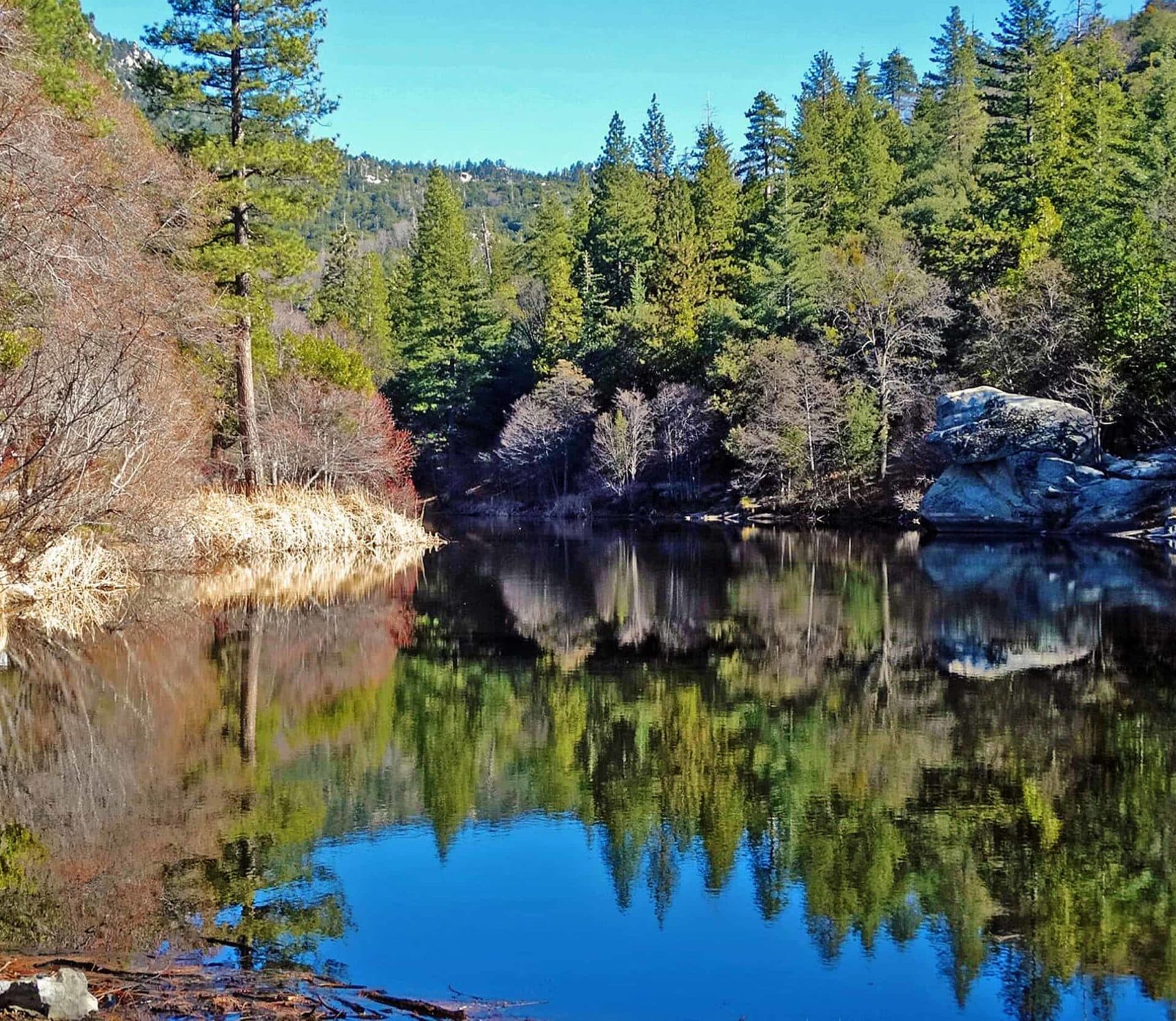
Idyllwild is the trailhead town for the San Jacinto Wilderness. The trails start at the edge of the village, the big peaks are a day’s walk away, and the same granite that draws climbers to Tahquitz Rock gives the hikes their views. These are the walks people ask about, from an hour to a full day, with the practical parts first.
Before you go
- Permits. Trails that enter the wilderness, including Devil’s Slide, need a free day-use wilderness permit from the Idyllwild Ranger Station on Highway 243 in town. On busy weekends the popular trails have a daily quota, so pick the permit up early or the day before.
- Parking. Humber Park, the main trailhead at the top of Fern Valley Road, is Forest Service land and needs a recreation pass on the dashboard. The lot fills on weekend mornings.
- Altitude and weather. Town is at 5,400 feet and the peaks are above 8,000. Carry more water than feels sensible, expect afternoon thunderstorms in late summer, and expect snow and ice on north-facing trails from late fall into spring, when traction devices are not optional.
- Signal. There is little or no mobile coverage on the trails. Tell someone your plan and carry a paper map or an offline one.
Easy walks
Ernie Maxwell Scenic Trail. From Humber Park to Tahquitz View Drive, about two and a half miles one way through cedars and pines with Tahquitz Rock above you. Gentle grades, mostly shade, good for a first morning or a family. Walk it out and back, or leave a second car at the lower end.
Idyllwild Nature Center. A county park a couple of miles north of the village on Highway 243, with short loop trails, a small museum, picnic tables and a modest entrance fee. It is also the home of the Lemon Lily Festival in July.
Lake Fulmor. A small lake beside Highway 243 on the way to Banning, with a short path around the water, fishing and picnic spots. A pass is needed to park.
The classic climb: Devil’s Slide
The Devil’s Slide Trail leaves Humber Park and climbs about 1,700 feet in two and a half miles of switchbacks to Saddle Junction, where it meets the Pacific Crest Trail. The saddle alone is a satisfying half day with views back over the village. From there, three destinations:
- Tahquitz Peak (8,846 feet), south along the crest, with a historic fire lookout that volunteers staff in season and a view that takes in the desert and the sea on a clear day.
- Wellman Divide and San Jacinto Peak (10,834 feet, the second-highest summit in Southern California): a long, serious day from Idyllwild, usually eight to ten hours round trip. Start at dawn.
- Tahquitz Meadow and the trail camps for an easier afternoon beyond the saddle.
Two other ways up
South Ridge Trail to Tahquitz Peak. From the end of South Ridge Road, about three and a half miles one way to the lookout, steeper and more open than the Devil’s Slide approach, with the climbing routes of Tahquitz Rock across the canyon.
Deer Springs Trail to Suicide Rock. From Highway 243 near the Nature Center, about three and a half miles one way and 1,900 feet up to the granite shoulder that faces Tahquitz Rock across the valley. Less crowded than Humber Park and the better sunset walk.
Tahquitz Rock
The dome above town, also called Lily Rock, is one of the historic rock-climbing areas of the United States; the Yosemite Decimal System that climbers use to rate routes everywhere was worked out here. For hikers it is scenery, not a destination: the summit is reached by climbing routes, not trails.
Guided walks and nature events
Ranger talks, guided hikes, bird walks and the Nature Center’s programs appear on the MyIdy calendar under Class and Community Event. The Fun in Idyllwild guide lists the outfitters, rentals and outdoor businesses in town.
See what is on in Idyllwild this week.
Open the calendar